Services and Solutions for GIS Workflows
We're a New Zealand based company specialising in all things geospatial, ranging from drone mapping to custom plugins for your GIS platform.


Services
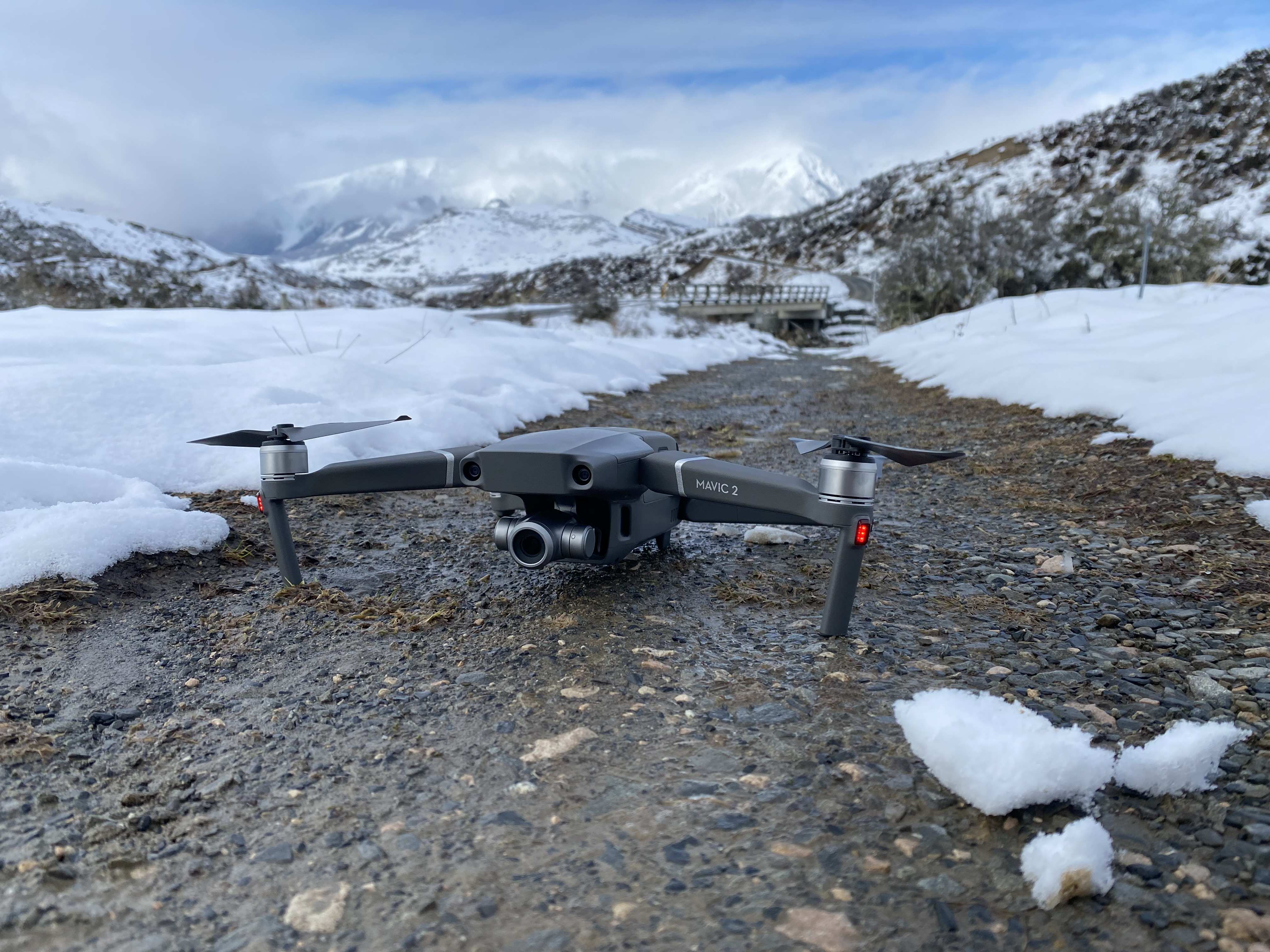
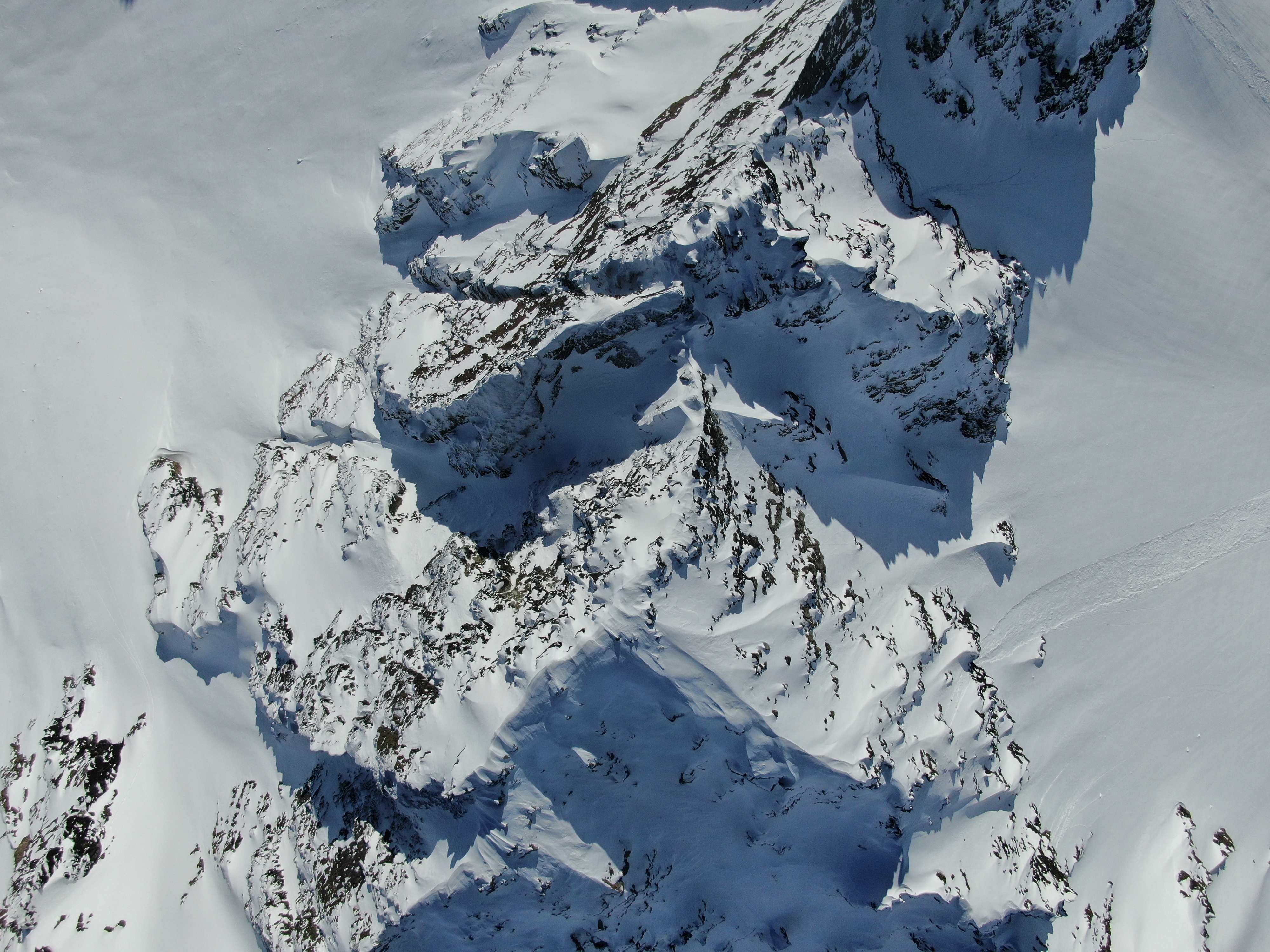
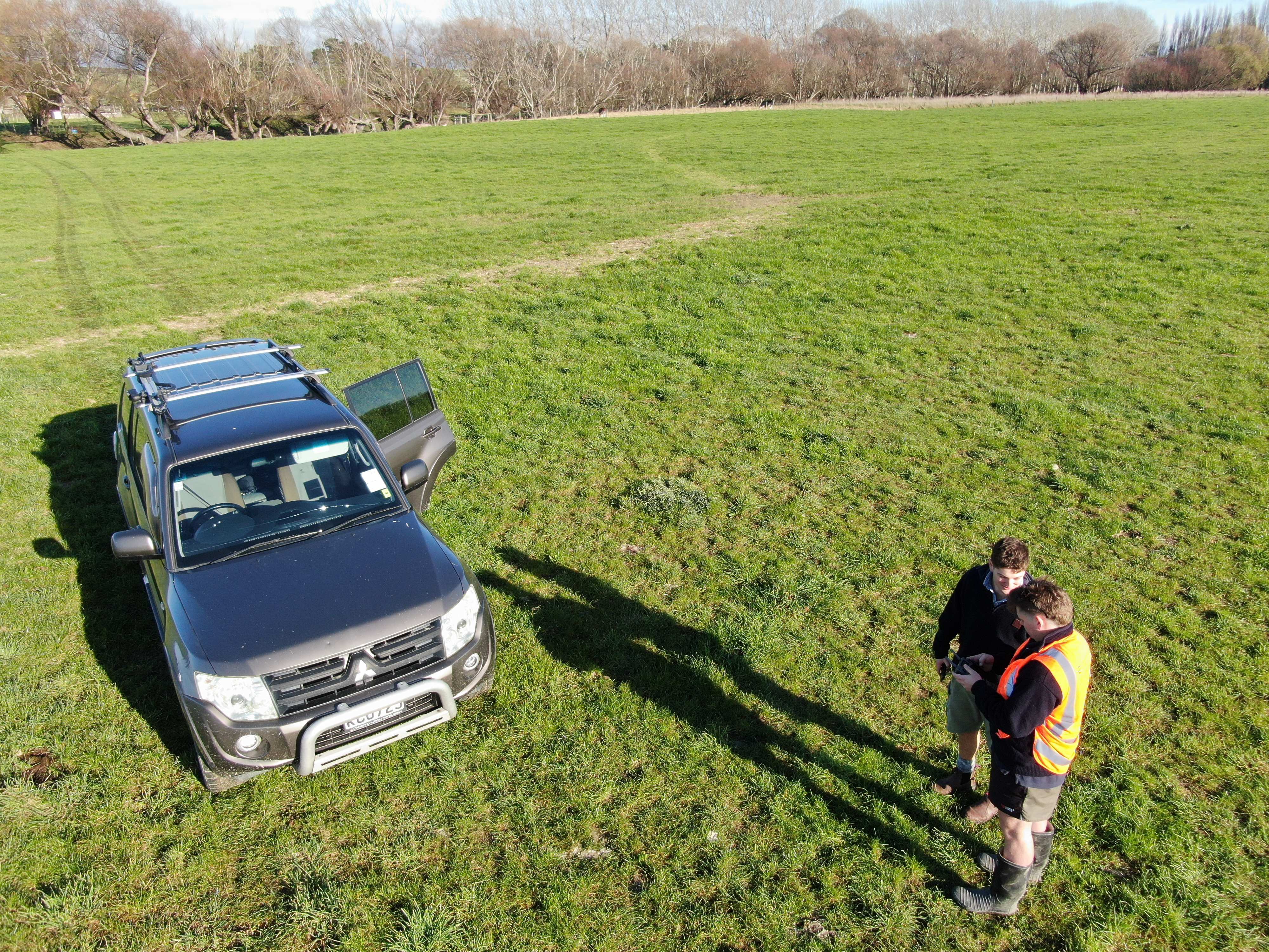
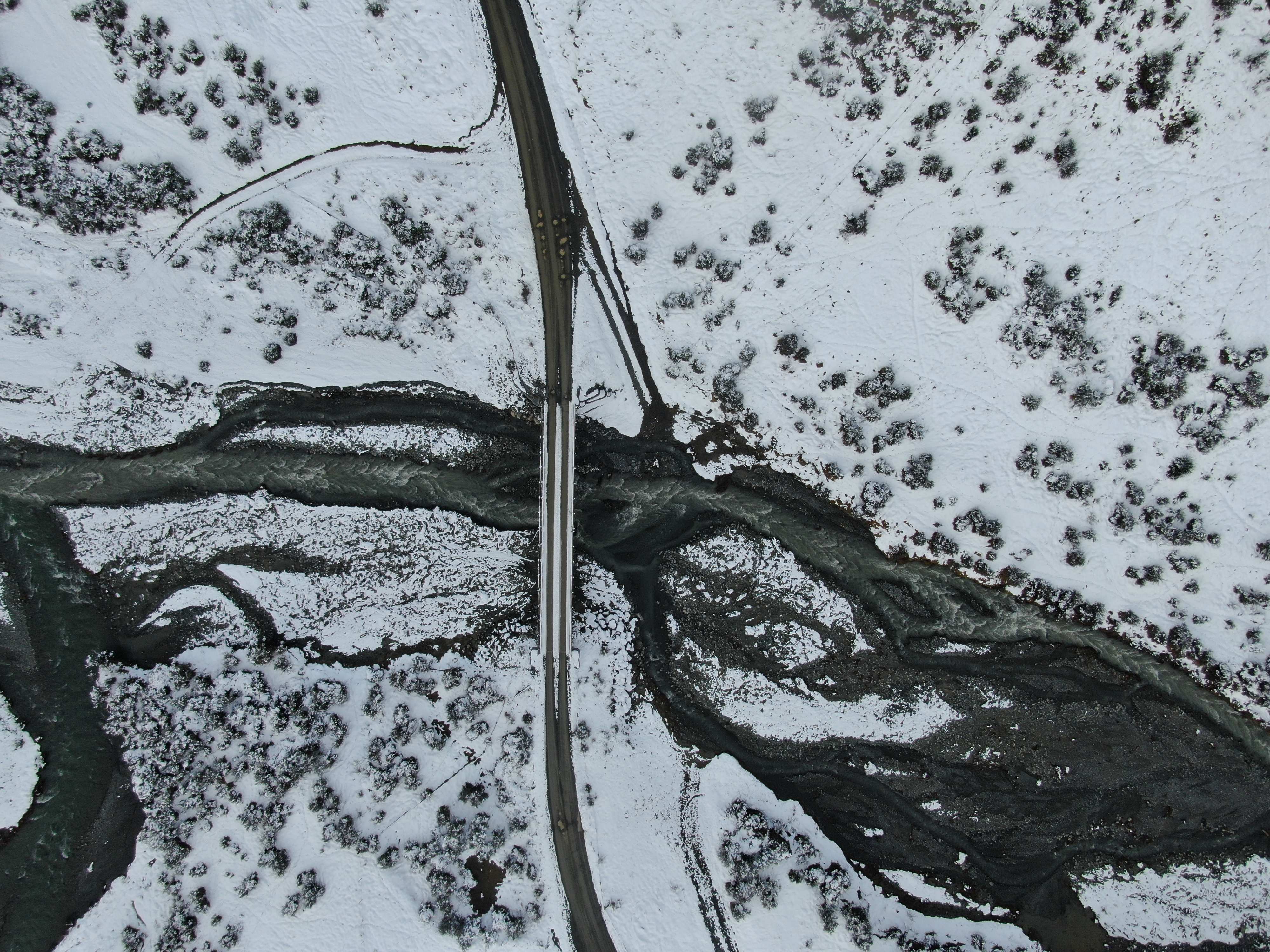
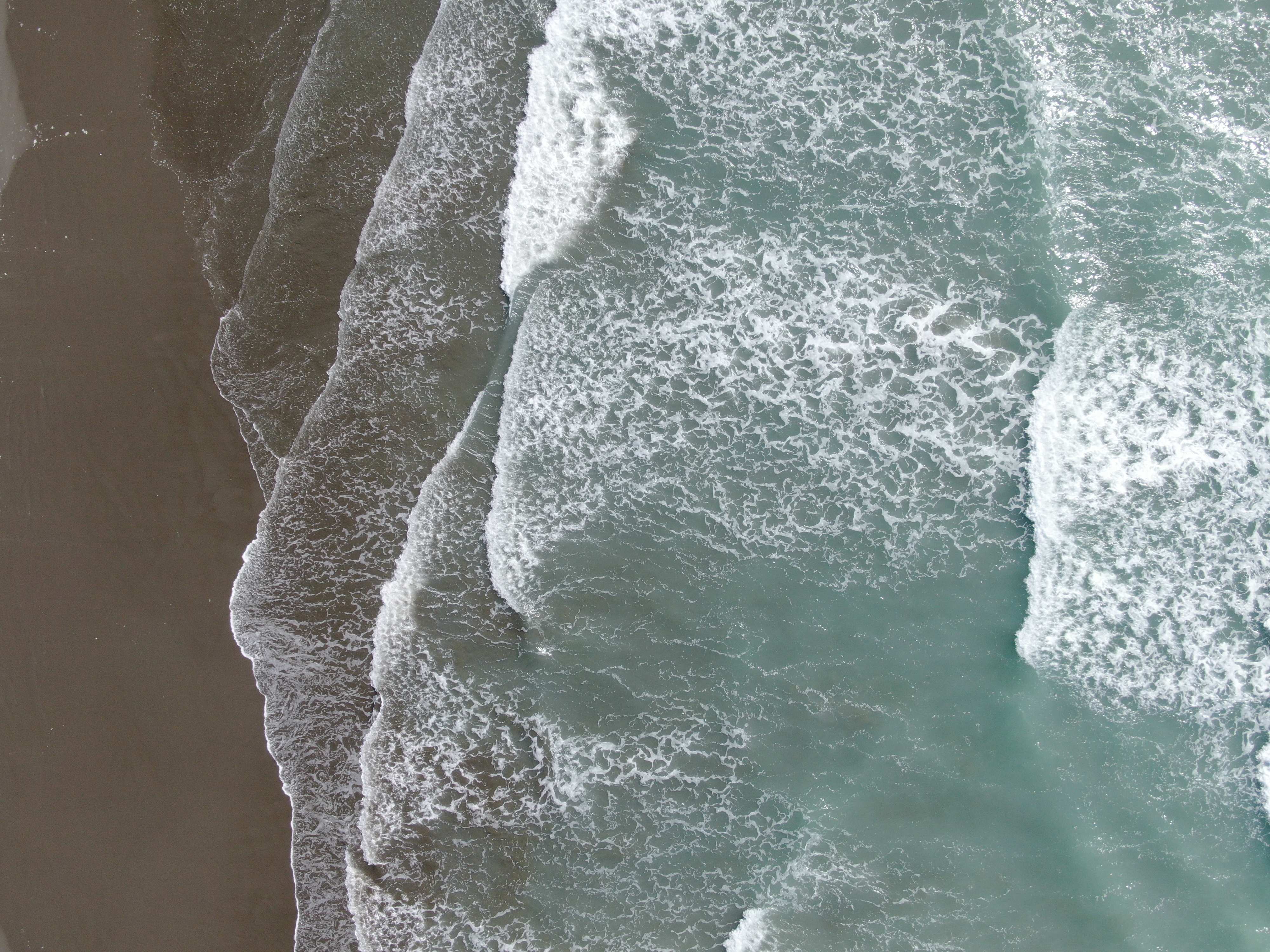
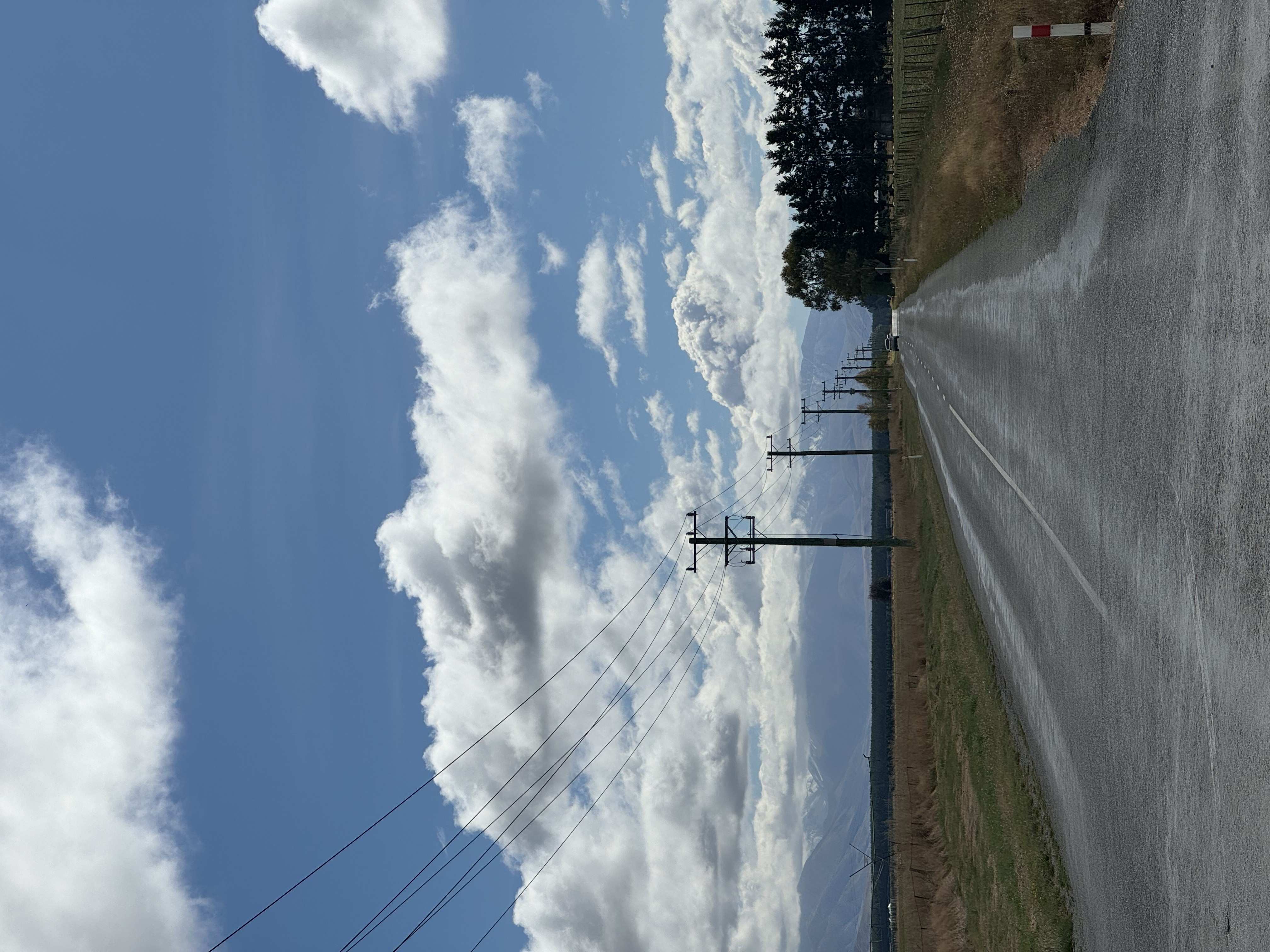
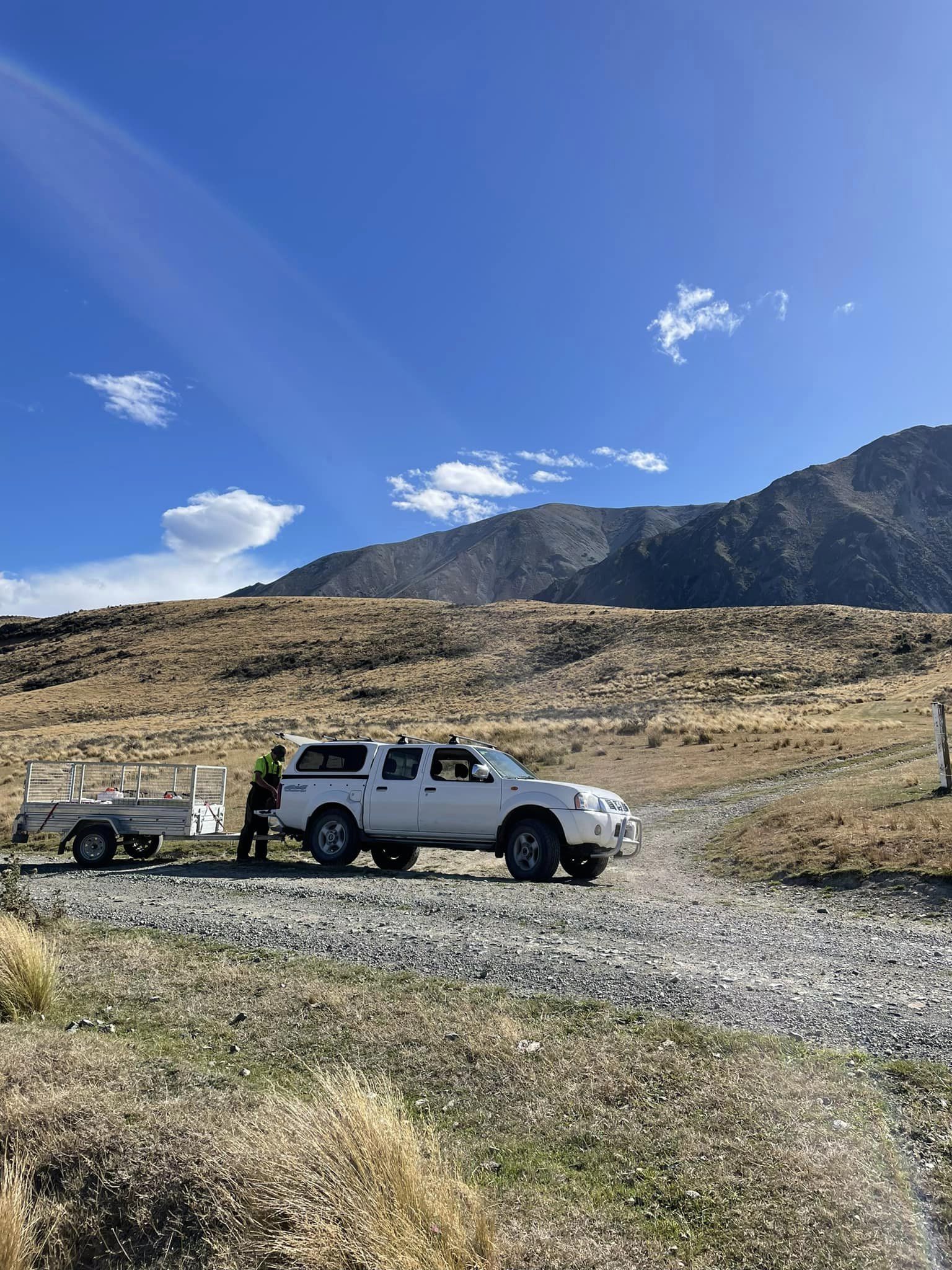
Drone Mapping
High-resolution aerial imagery and 3D modeling for various applications.
Web Mapping and Development
Custom web mapping applications and static site development, like this one!
GIS Services
Data management and spatial analysis.
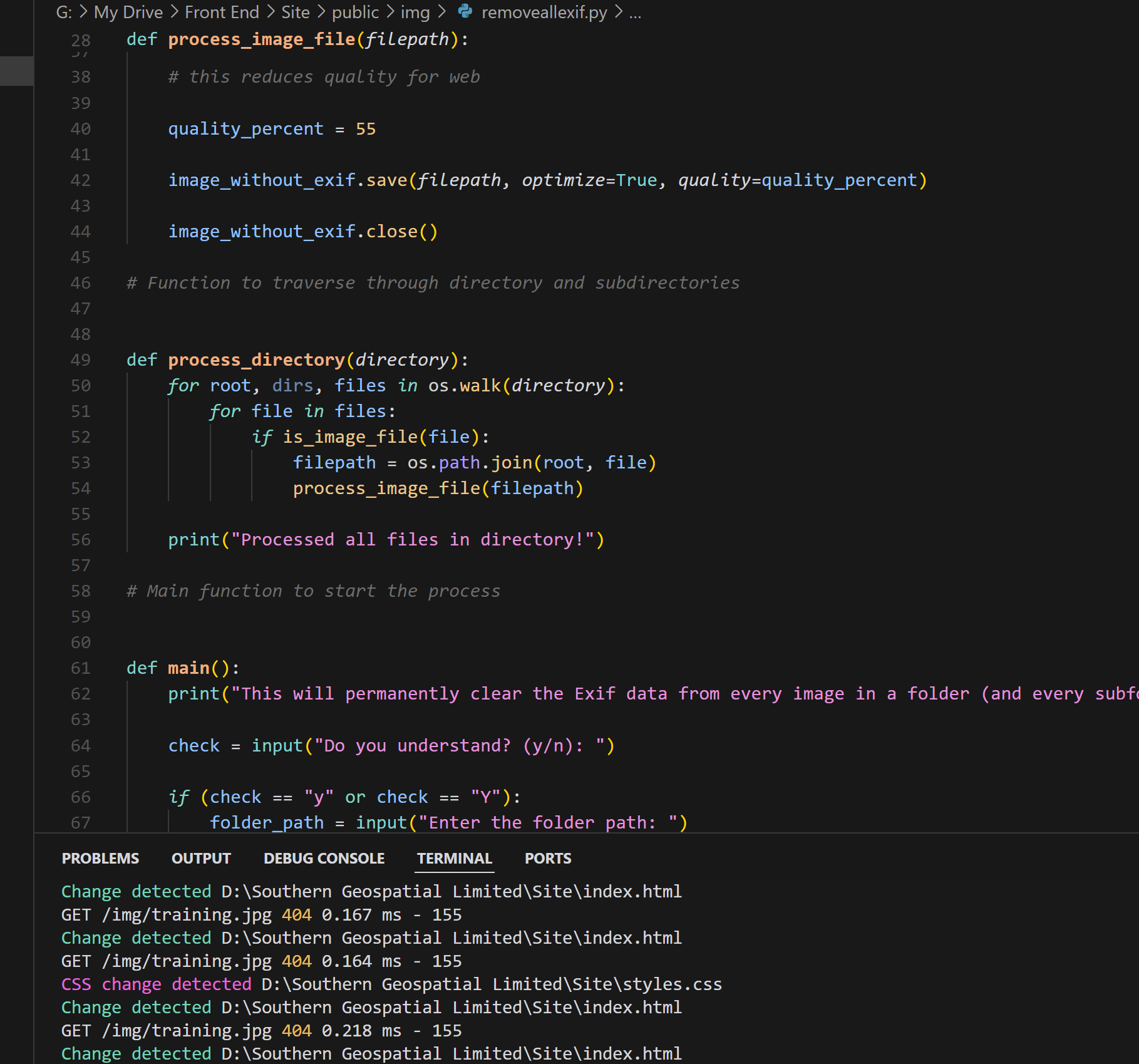
Software Development
Custom applications, automations and plugins for GIS platforms.

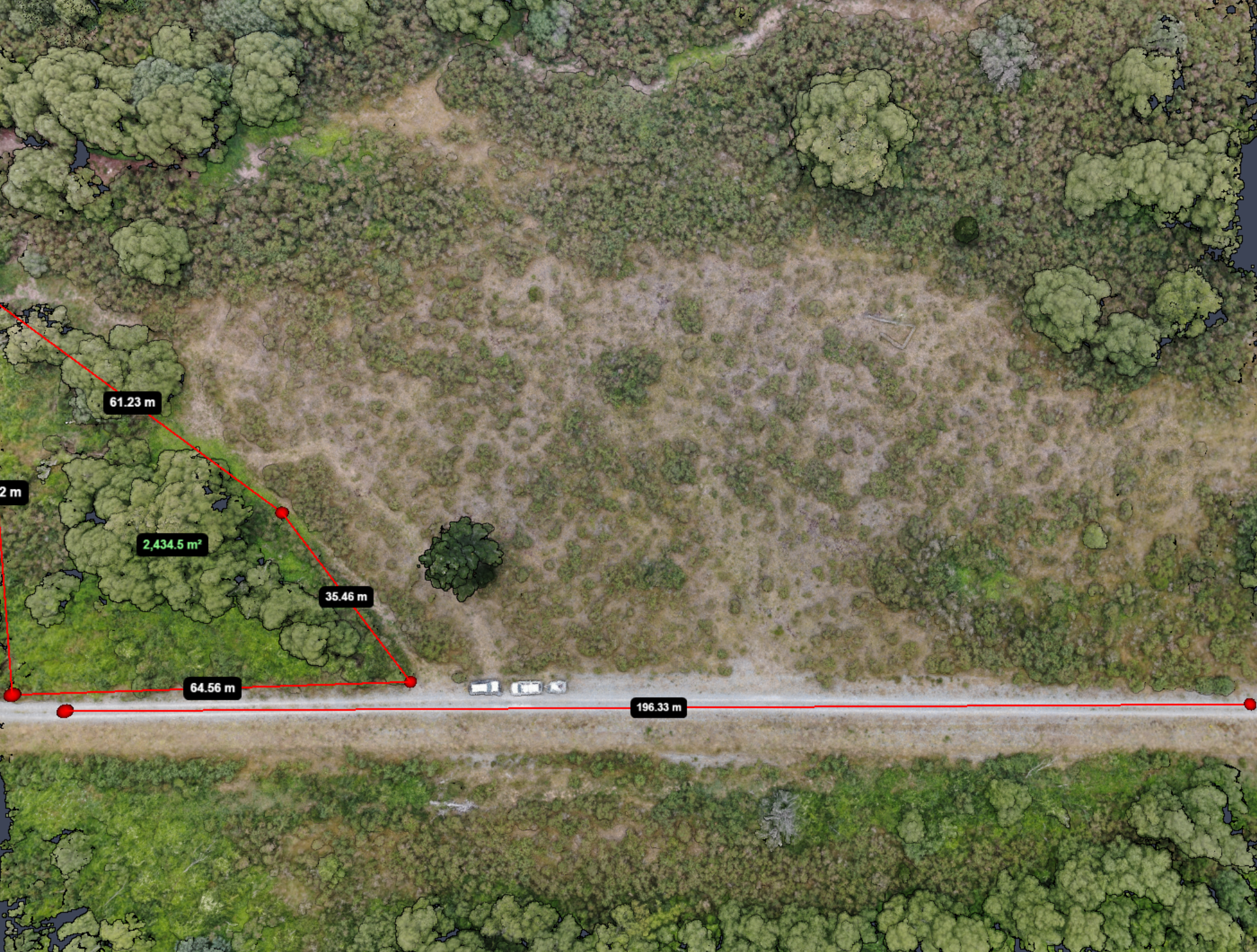
Photogrammetry
Precise measurements and 3D reconstructions from photographs.
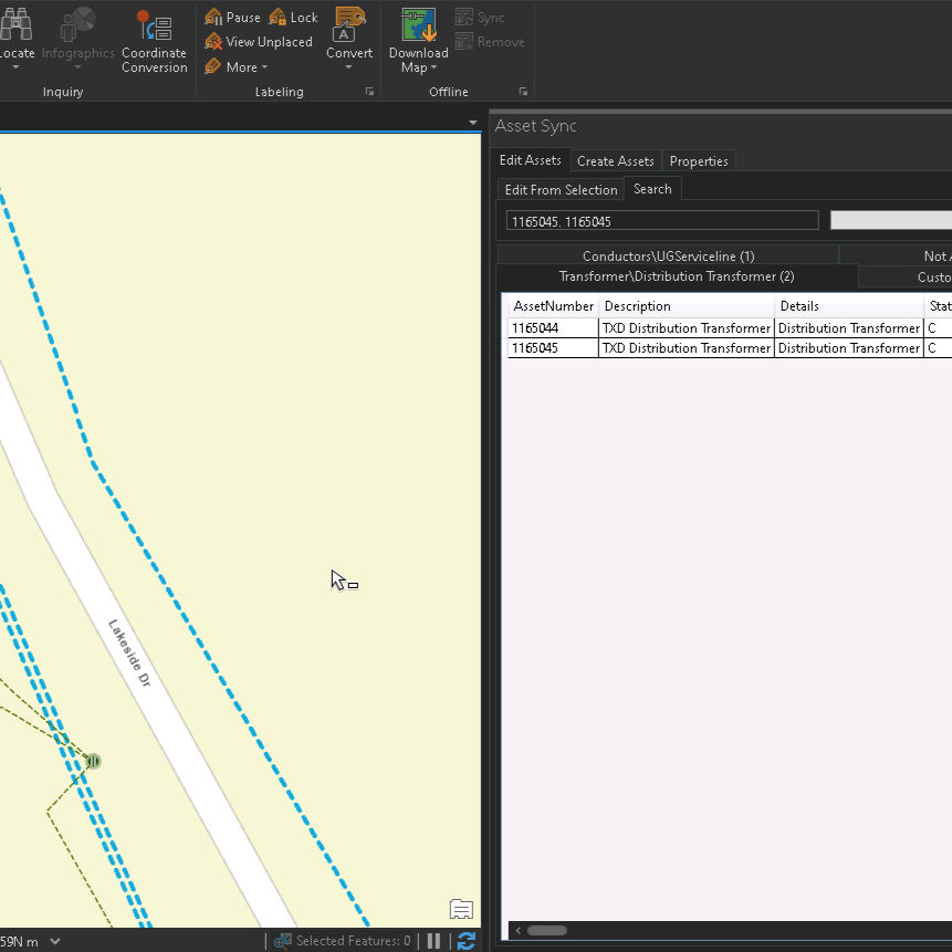
Electricity Job Processing
Overhead and underground, low, medium and high voltage electricity job processing.
About
Established in Christchurch in 2020, Southern Geospatial specializes in drone based aerial imagery, processing ultilties plans, and GIS focused software development. We've got a passion for the outdoors and our extremely diverse landscapes, so being able to map it from above, analyse it and see valuable insights is pretty damn cool.
Local Expertise
Deep understanding of New Zealand's unique geographical landscape and requirements.
Custom Solutions
Tailored GIS and software solutions designed to meet your specific needs.
Advanced Technology
Using cutting-edge drone and mapping technology for precise results.
Clients

Alpine Energy Limited
Electricity distribution company serving South Canterbury.
Craigmore Sustainables
Sustainable land and resource management company.
T&T Biodiversity Care Limited
Specialized in biodiversity conservation and management.
Private Custom Jobs
Tailored solutions for individual client needs.
Contact
Ready to start your next geospatial project? Get in touch with us!
blake [at] southerngeo [dot] nz